Aller au contenu principal
Book your activities
Voir les favoris
Agenda
Webcam
The Incoming Agency
PRO & PRESS
en
Explore Millau
I'M INSPIRED
View of Beffroigreg Alric
©
View of Beffroigreg Alric
Millau
Excursion Around The Millau Viaduct 10
©
Excursion Around The Millau Viaduct 10
Millau Viaduct
Gorges Du Tarn©lezbroz
©
Gorges Du Tarn©lezbroz
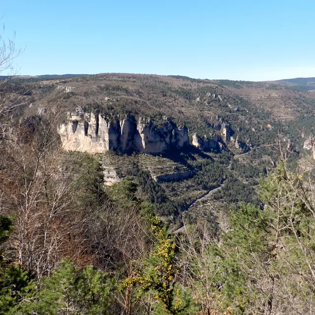
Gorges du Tarn et de la Jonte
Rando Aerienne Villages Troglodytiques Aventure 32 Gorges Du Tarn Laetitia Raisin Robert
©
Rando Aerienne Villages Troglodytiques Aventure 32 Gorges Du Tarn Laetitia Raisin Robert
Our pretty stone villages
Nature Causse Cgrands Sites Midi Pyenees 30
©
Nature Causse Cgrands Sites Midi Pyenees 30
Larzac
Aventure Explor'game Cité De Pierres 3laetitia Raisin Robert
©
Aventure Explor'game Cité De Pierres 3laetitia Raisin Robert
City of Stones
Grands Sites Viaduc - Roquefort - Couvertoirade
©
Grands Sites Viaduc - Roquefort - Couvertoirade
Roquefort
Rappel Descent At Laven Armand Aventure 4 Exodams
©
Rappel Descent At Laven Armand Aventure 4 Exodams
Caves around Millau
A la carte
Our adventures
Family fun at Millau Grands Causses
Markets in Aveyron
100% local
100% rando
100% moto
Take your dog… to Millau
Viaduct Agility course053alexhumbert
©
Viaduct Agility course053alexhumbert
Take your dog… to Millau
NATURE ACTIVITIES
Paragliding Flight in front of Millau Viaduct Activites Nature 2 Millau @alexevil12
©
Paragliding Flight in front of Millau Viaduct Activites Nature 2 Millau @alexevil12
Paragliding in Millau
Cani Canoe Emmene Ton Chien 13
©
Cani Canoe Emmene Ton Chien 13
Canoeing in Millau and the Gorges
Canyon Sec Aventure 2 Aqua Nomad
©
Canyon Sec Aventure 2 Aqua Nomad
Water trekking and canyoning
Climbing Grande Voie Gorges Du Tarn Copyright Remi Flament Pact Gdt Crtloccitanie 0037637 Md Min
©
Climbing Grande Voie Gorges Du Tarn Copyright Remi Flament Pact Gdt Crtloccitanie 0037637 Md Min
Climbing from Millau to the Gorges
Circuit Vtt Electrique Gorges Du Tarn Lezbroz Crtloccitanie 0039097 Md Min
©
Circuit Vtt Electrique Gorges Du Tarn Lezbroz Crtloccitanie 0039097 Md Min
Millau, a cycling destination
Randonnee Du Mejean Vases Clara Ferrand Wildroad Crtloccitanie 0039135 Md Min
©
Randonnee Du Mejean Vases Clara Ferrand Wildroad Crtloccitanie 0039135 Md Min
Hiking tours
Peche P1040968
©
Peche P1040968
Fishing around Millau in Aveyron
Rock and Via ferrata
©
Rock and Via ferrata
Via ferrata
Festival Templiers 2023 22 Shootin Factory Greg Alric
©
Festival Templiers 2023 22 Shootin Factory Greg Alric
Millau Trail Land
AT HOME
Liaucous Heritage walk4 Liaucous Faustine Costes
©
Liaucous Heritage walk4 Liaucous Faustine Costes
Visits and heritage: Our nuggets
Page Under Construction 768x362
©
Page Under Construction 768x362
Our values
Voilensac Producers 35 Millau Tourist Office Credit Greg Alric
©
Voilensac Producers 35 Millau Tourist Office Credit Greg Alric
Local know-how
Produits De Fetes Faustine Costes 1
©
Produits De Fetes Faustine Costes 1
100% gourmet
Boutique Otmgc Pauline Printz
©
Boutique Otmgc Pauline Printz
The boutique: our products and commitments
Rando Aerienne Villages Troglodytiques Aventure 17 Gorges Du Tarn Laetitia Raisin Robert
©
Rando Aerienne Villages Troglodytiques Aventure 17 Gorges Du Tarn Laetitia Raisin Robert
Nature activities & leisure
I'M GOING
1x
©
H Res Domainestaintesteve Residencedetourisme
Where to stay in Millau?
Restaurants in Millau - Where to eat in Millau, the Grands Causses and the Gorges du Tarn?
©
Restaurants in Millau - Where to eat in Millau, the Grands Causses and the Gorges du Tarn?
Where to eat in Millau
Rue De Millau Family Visit Noemie Calmels
©
Rue De Millau Family Visit Noemie Calmels
See and visit
Boutique Officedetourismeresized2
©
Boutique Officedetourismeresized2
Practical information
Handicap Pexels Judita Tamo Free Use
©
Handicap Pexels Judita Tamo Free Use
Tourism and disability
Camping Car Viaduc01 Alexandre Humbert
©
Camping Car Viaduc01 Alexandre Humbert
Getting to and around Millau
Welcome to Millau Grands Causses and the Tarn Valley
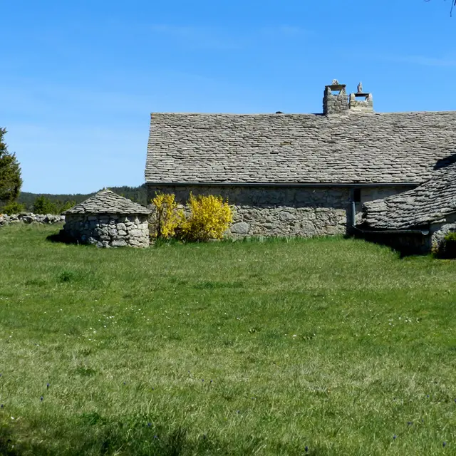
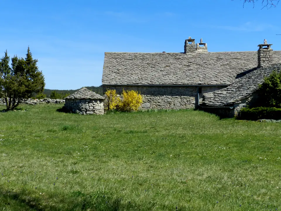
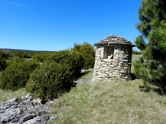
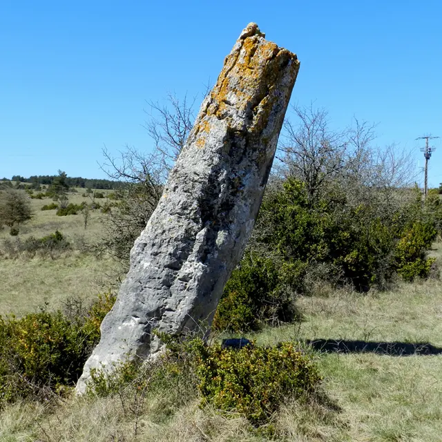
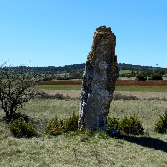
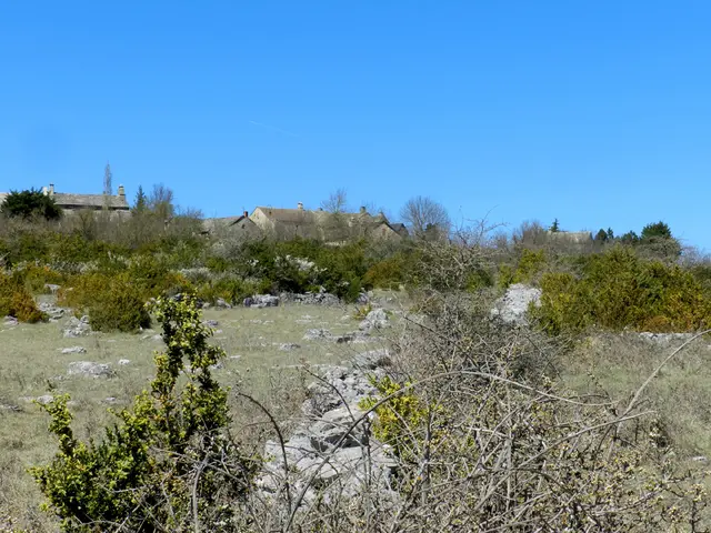
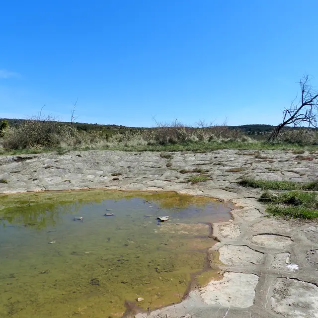
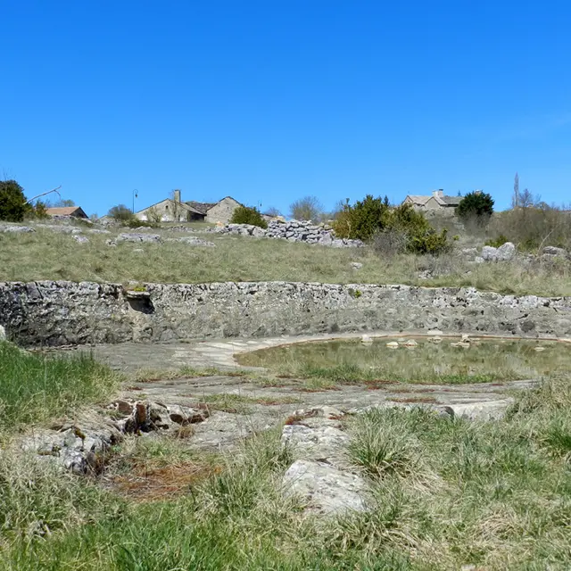
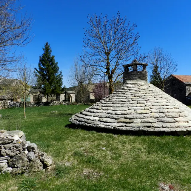
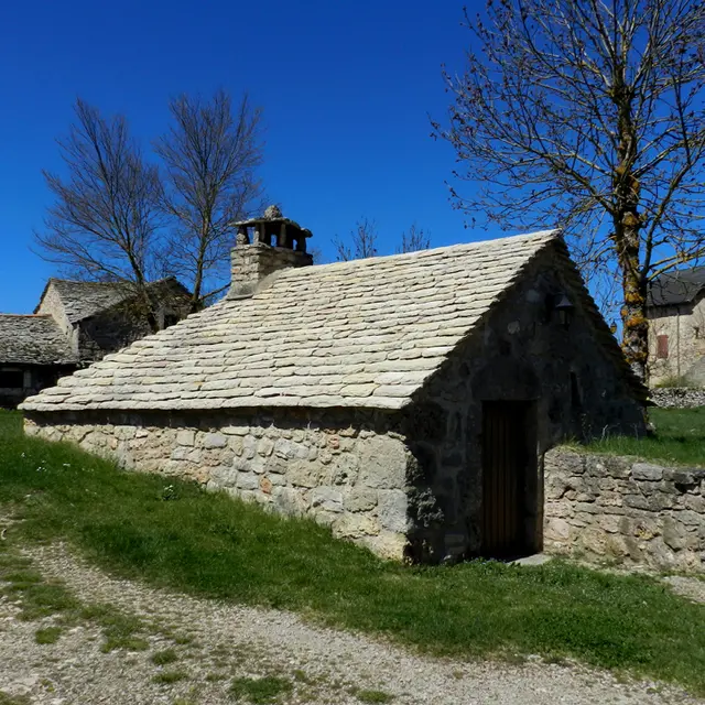
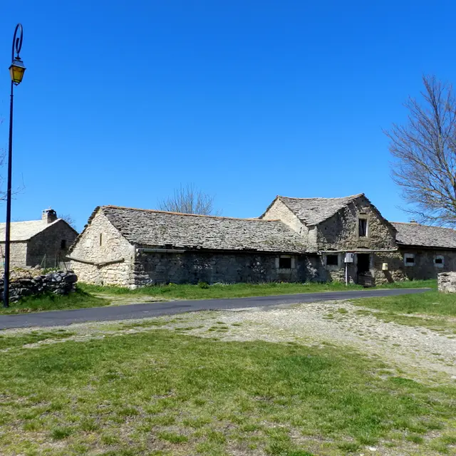
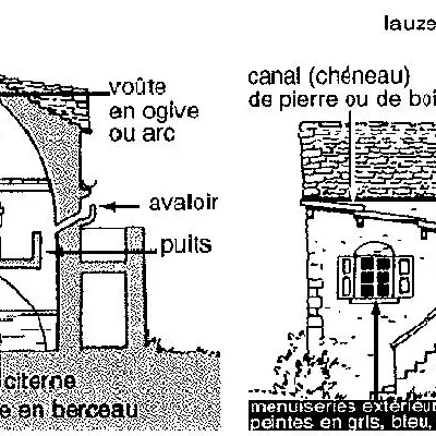
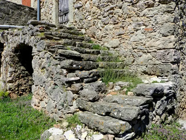
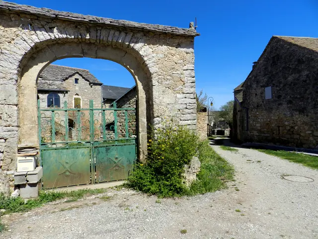
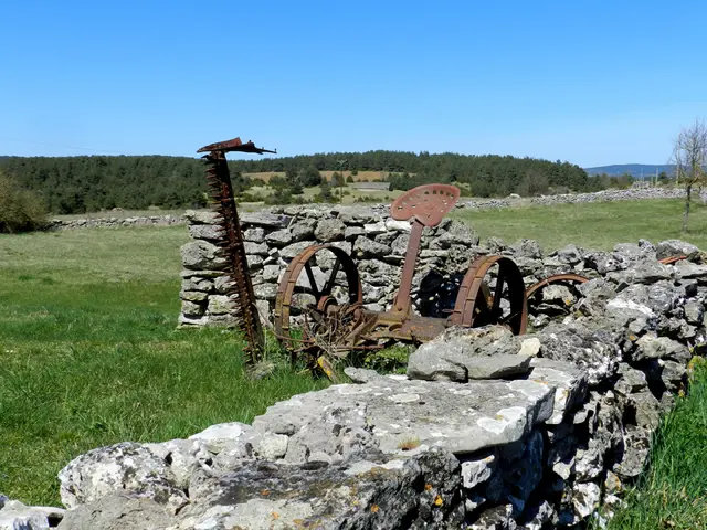
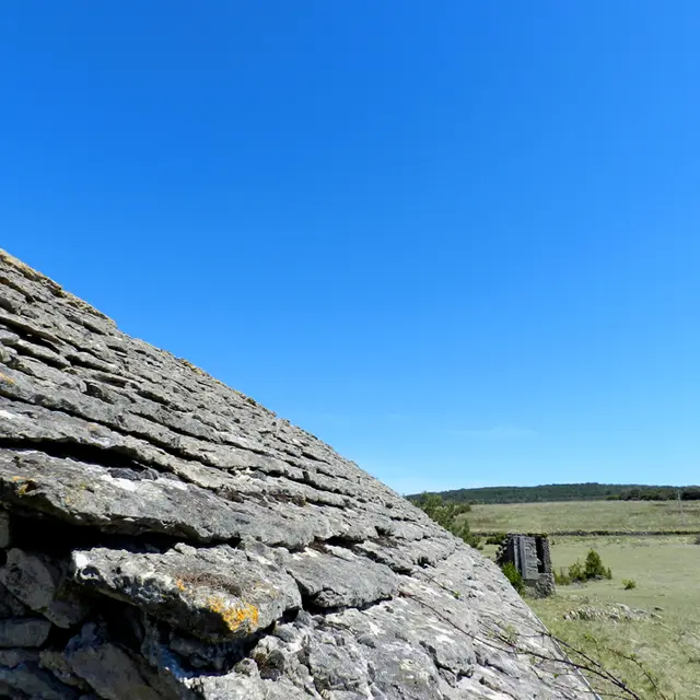
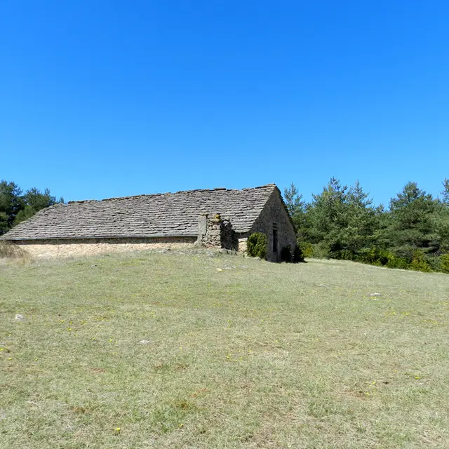
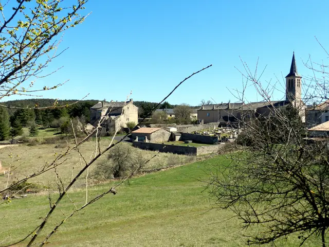
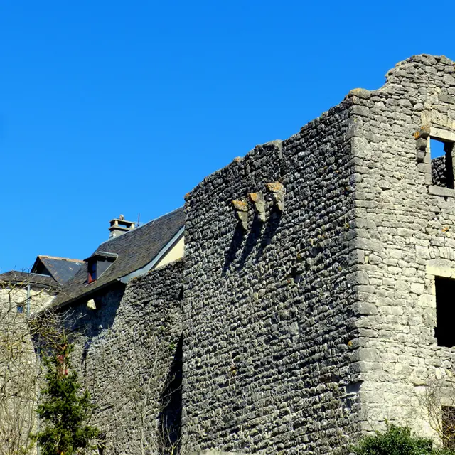
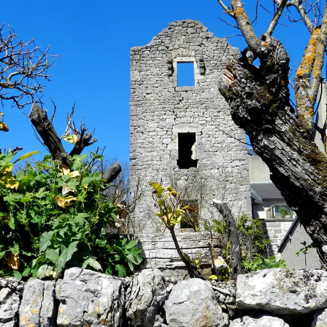
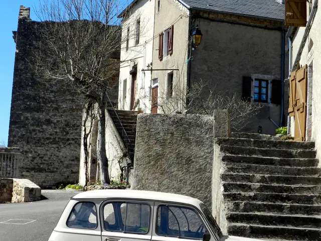
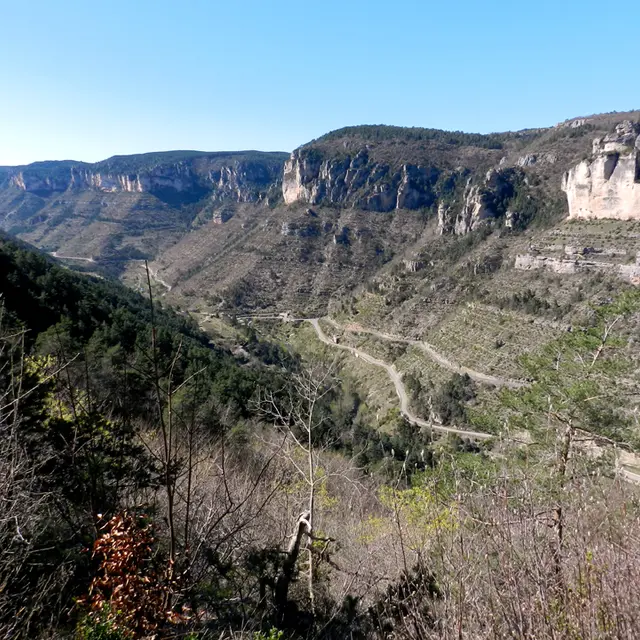
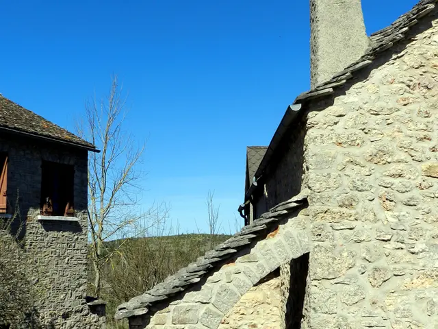
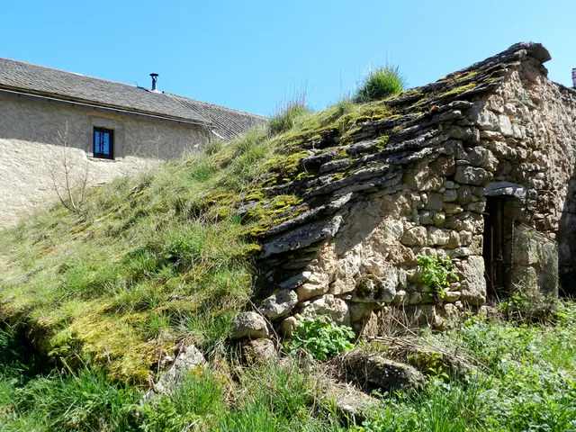
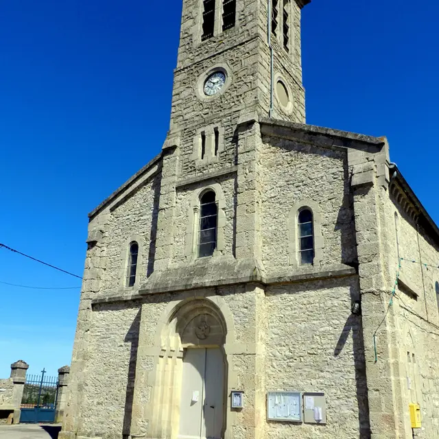
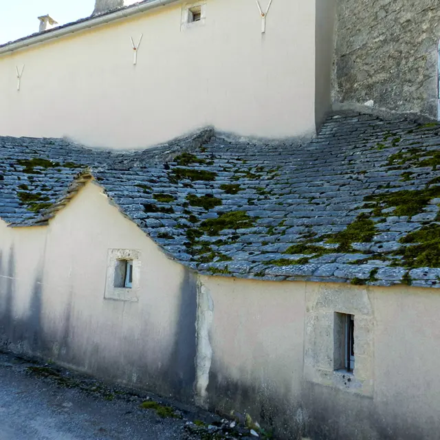
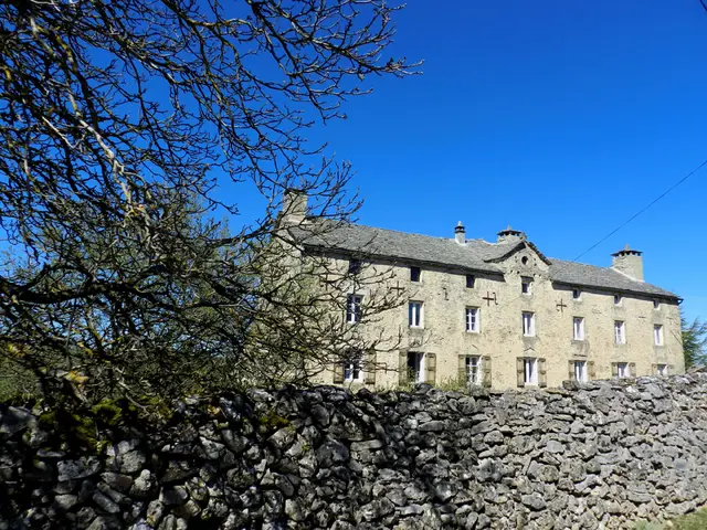
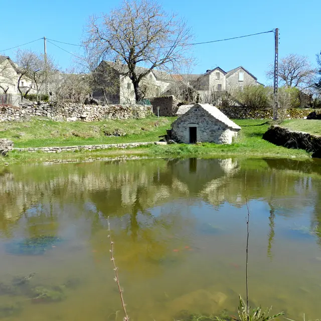
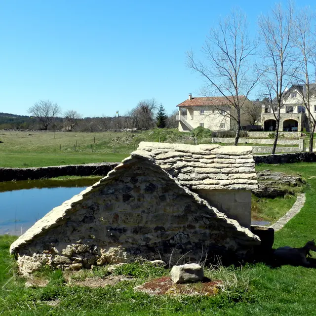
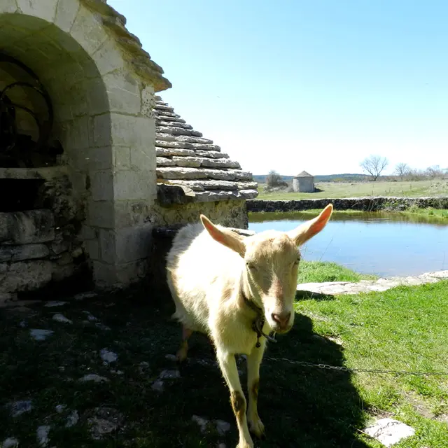
L’architecture Caussenarde à Vessac et Veyreau
L’architecture Caussenarde à Vessac et Veyreau
Natural
Walking/pedestrian
12720 Saint-André-de-Vézines
Getting there
×
Open the itinerary in
Google Maps
Apple Plans
Waze
Mappy
Share
Ajouter aux favoris
Add to my favorites
×
Share this sheet
L’architecture Caussenarde à Vessac et Veyreau
E-mail
WhatsApp
Facebook
X
LinkedIn
Pinterest
Points of interest
Points of interest
1
2
3
4
5
6
7
8
9
10
11
12
13
14
15
16
17
18
19
20
21
22
23
Close
Popular searches
{% label %}
Page suggestions
Guided tour
©
Guided tour
Tours & excursions
Randonnee Du Mejean Vases Clara Ferrand Wildroad Crtloccitanie 0039135 Md Min
©
Randonnee Du Mejean Vases Clara Ferrand Wildroad Crtloccitanie 0039135 Md Min
Hiking tours
Rando Aerienne Villages Troglodytiques Aventure 32 Gorges Du Tarn Laetitia Raisin Robert
©
Rando Aerienne Villages Troglodytiques Aventure 32 Gorges Du Tarn Laetitia Raisin Robert
|
Laetitia Raisin Robert
Our pretty stone villages
Filter search
Page types
All
Articles
Agenda
Lists
Activités youBOOK
Aucun résultat
/
English
Français
Español
Nederlands
Close
×