Aller au contenu principal
Boek uw activiteiten
Voir les favoris
Agenda
Webcam
Het inkomende agentschap
PRO EN PERS
nl
Explore Millau
IK BEN GEÏNSPIREERD
Uitzicht op Beffroigreg Alric
©
Uitzicht op Beffroigreg Alric
Millau
Excursie rond het Viaduct van Millau 10
©
Excursie rond het Viaduct van Millau 10
Viaduct van Millau
Gorges Du Tarn©lezbroz
©
Gorges Du Tarn©lezbroz
Gorges du Tarn en de Jonte
Rando Aerienne Villages Troglodytiques Aventure 32 Gorges Du Tarn Laetitia Raisin Robert
©
Rando Aerienne Villages Troglodytiques Aventure 32 Gorges Du Tarn Laetitia Raisin Robert
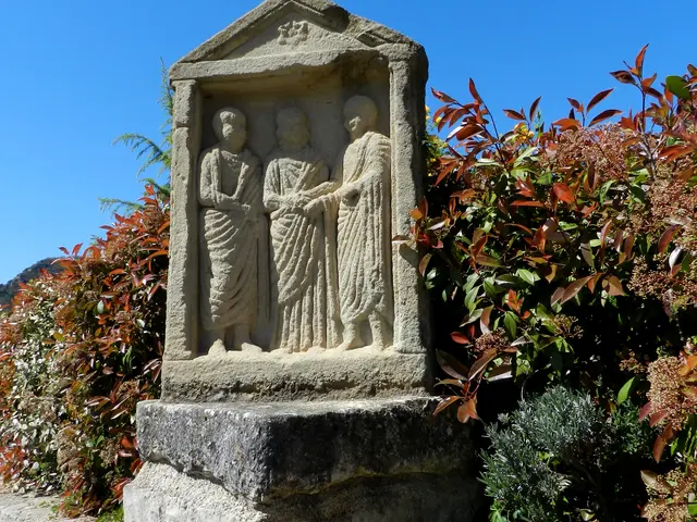
Onze mooie stenen dorpjes
Natuur Causse Cgrands Sites Midi Pyenees 30
©
Natuur Causse Cgrands Sites Midi Pyenees 30
Larzac
Ontdekkingsreis Avontuur Cité De Pierres 3laetitia Rozijn Robert
©
Ontdekkingsreis Avontuur Cité De Pierres 3laetitia Rozijn Robert
Stad van stenen
Grote viaducten - Roquefort - Couvertoirade
©
Grote viaducten - Roquefort - Couvertoirade
Roquefort
Abseilen Laven Armand Avontuur 4 Examens
©
Abseilen Laven Armand Avontuur 4 Examens
Grotten rond Millau
A la carte
Onze avonturen
Uitjes met het gezin in Millau Grands Causses
Markten in Aveyron
Grands Causses Espaces Trail
100% lokaal
100% wandelen
100% motor
Neem je hond mee naar Millau
Viaduct behendigheidsparcours053alexhumbert
©
Viaduct behendigheidsparcours053alexhumbert
Neem je hond mee naar Millau
NATUURACTIVITEITEN
Paraglidingvlucht over het viaduct van Millau Natuuractiviteiten 2 Millau @alexevil12
©
Paraglidingvlucht over het viaduct van Millau Natuuractiviteiten 2 Millau @alexevil12
Paragliden in Millau
Kano Emmene Ton Chien 13
©
Kano Emmene Ton Chien 13
Kanoën in Millau en de Gorges
Canyon Sec Aventure 2 Aqua Nomad
©
Canyon Sec Aventure 2 Aqua Nomad
Watertrekking en canyoning
Klimmen Grande Voie Gorges Du Tarn Copyright Remi Flament Pact Gdt Crtloccitanie 0037637 Md Min
©
Klimmen Grande Voie Gorges Du Tarn Copyright Remi Flament Pact Gdt Crtloccitanie 0037637 Md Min
Klimmen van Millau naar de Gorges
Circuit Vttrique Gorges Du Tarn Lezbroz Crtloccitanie 0039097 Md Min
©
Circuit Vttrique Gorges Du Tarn Lezbroz Crtloccitanie 0039097 Md Min
Millau, een fietsbestemming
Randonnee Du Mejean Vazen Clara Ferrand Wildroad Crtloccitanie 0039135 Md Min
©
Randonnee Du Mejean Vazen Clara Ferrand Wildroad Crtloccitanie 0039135 Md Min
Wandeltochten
P1040968
©
P1040968
Vissen rond Millau in Aveyron
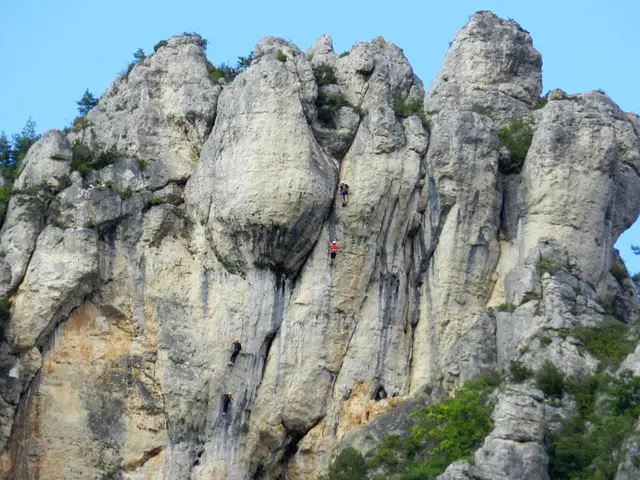
Rots en klettersteig
©
Rots en klettersteig
Via ferrata
Festival Templiers 2023 22 Schietfabriek Greg Alric
©
Festival Templiers 2023 22 Schietfabriek Greg Alric
Millau Trail Land
THUIS
Liaucous Erfgoedwandeling4 Liaucous Faustine Costes
©
Liaucous Erfgoedwandeling4 Liaucous Faustine Costes
Bezoeken en erfgoed: onze goudklompjes
Pagina in aanbouw 768x362
©
Pagina in aanbouw 768x362
Onze waarden
Voilensac Producenten 35 Millau Toeristenbureau Credit Greg Alric
©
Voilensac Producenten 35 Millau Toeristenbureau Credit Greg Alric
Lokale knowhow
Feestelijke producten Faustine Costes 1
©
Feestelijke producten Faustine Costes 1
100% gastronomisch
Boetiek Otmgc Pauline Printz
©
Boetiek Otmgc Pauline Printz
De winkel: onze producten en verplichtingen
Rando Aerienne Villages Troglodytiques Aventure 17 Gorges Du Tarn Laetitia Raisin Robert
©
Rando Aerienne Villages Troglodytiques Aventure 17 Gorges Du Tarn Laetitia Raisin Robert
Natuur & vrije tijd
IK GA
Restaurants in Millau - Waar eten in Millau, de Grands Causses en de Gorges du Tarn?
©
Restaurants in Millau - Waar eten in Millau, de Grands Causses en de Gorges du Tarn?
Waar te eten in Millau
1x
©
H Res Domeintesteve Residencedetoerisme
Waar overnachten in Millau?
Rue De Millau Familiebezoek Noemie Calmels
©
Rue De Millau Familiebezoek Noemie Calmels
Bekijk en bezoek
Boutique Officedetourismeresized2
©
Boutique Officedetourismeresized2
Praktische informatie
Handicap Pexels Judita Tamo Gratis gebruik
©
Handicap Pexels Judita Tamo Gratis gebruik
Toerisme en handicaps
Kampeerauto Viaduc01 Alexandre Humbert
©
Kampeerauto Viaduc01 Alexandre Humbert
Vervoer naar en in Millau
Welkom bij Millau Grands Causses – Gorges du Tarn
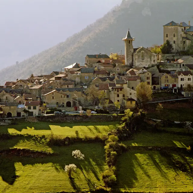
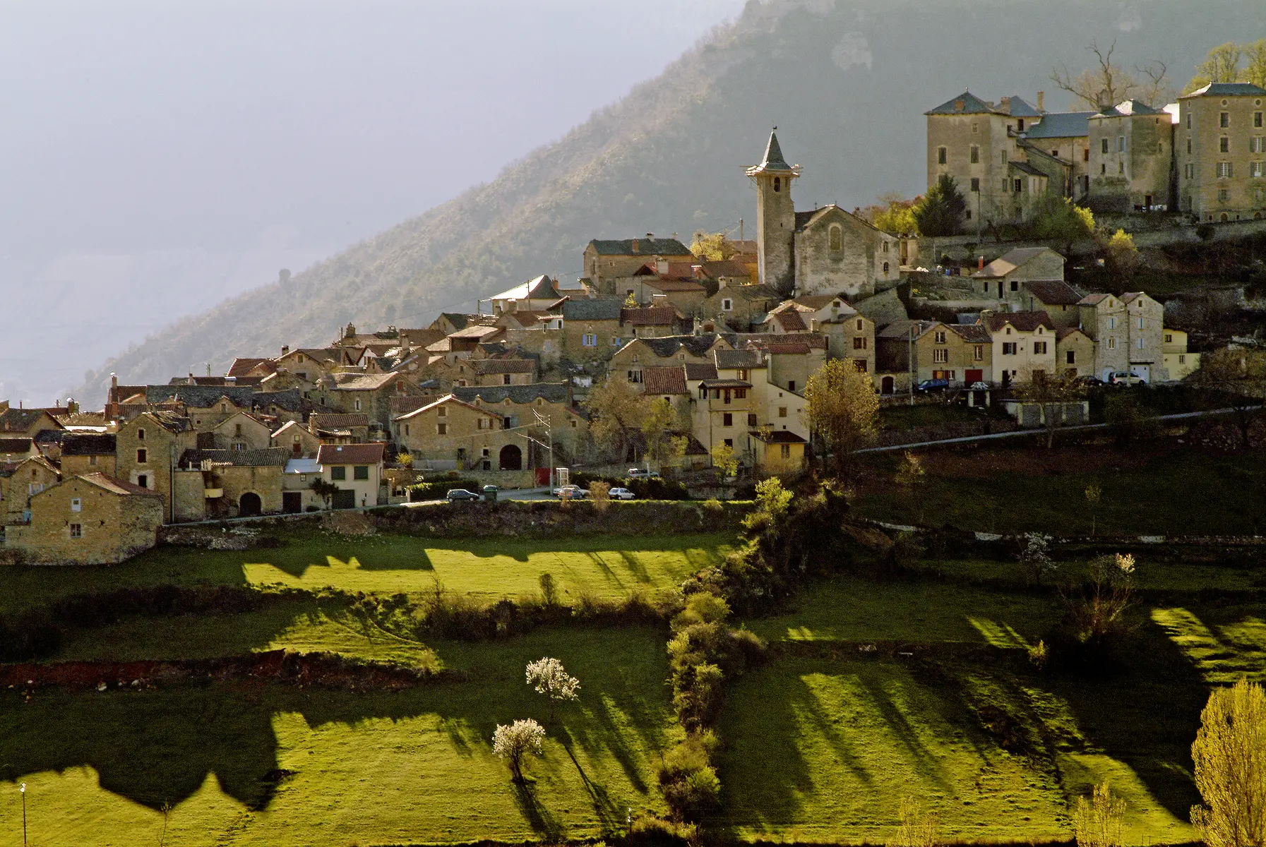
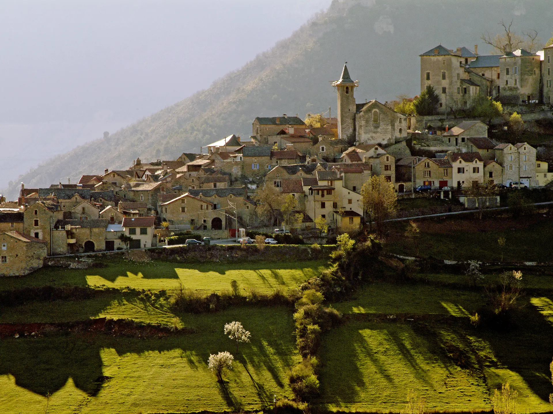
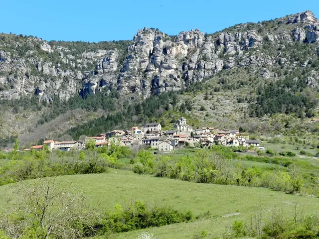
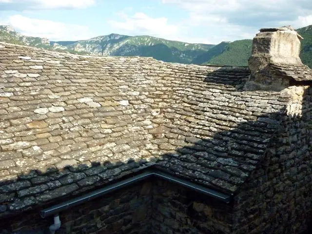
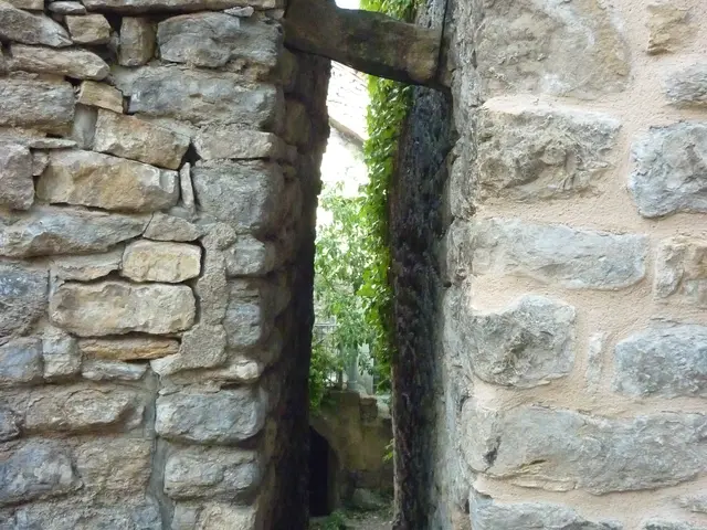
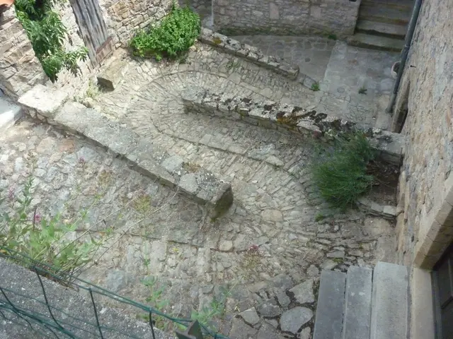
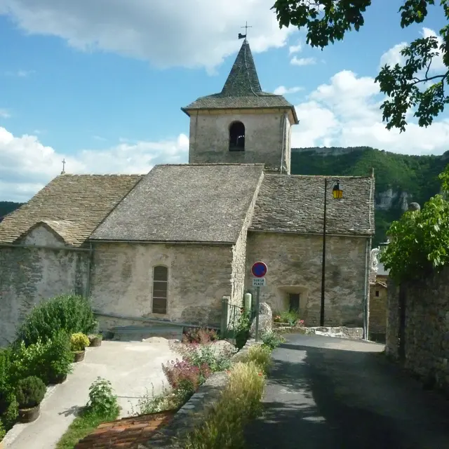
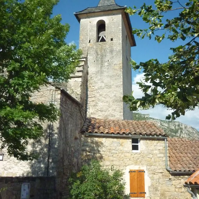
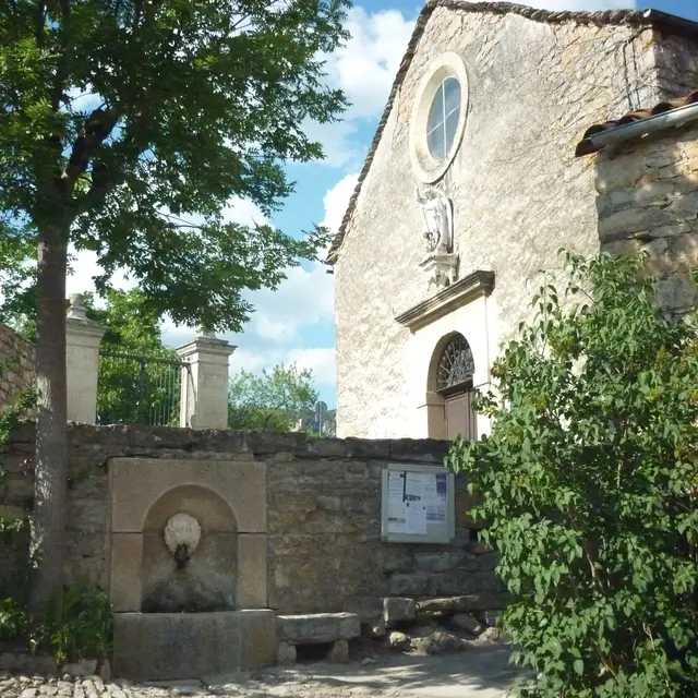
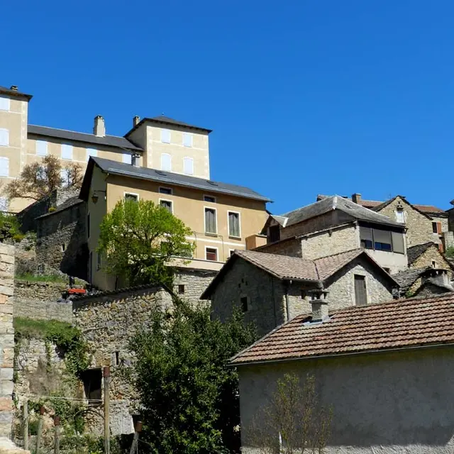
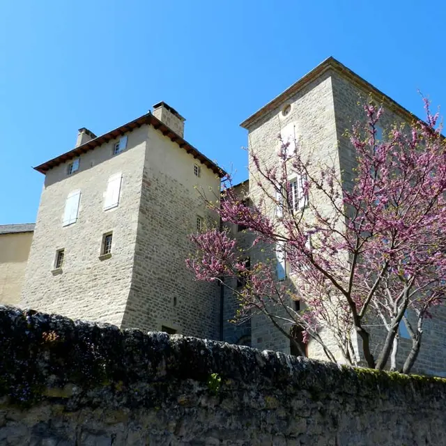
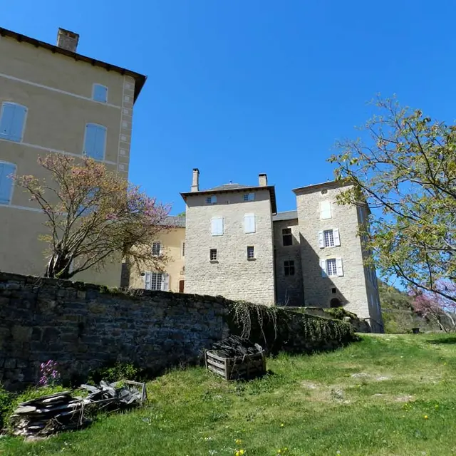
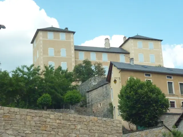
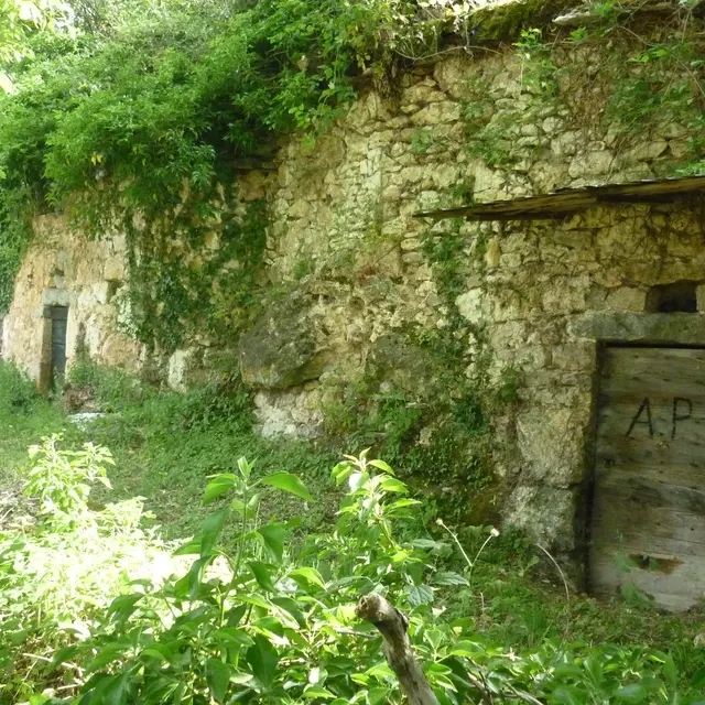
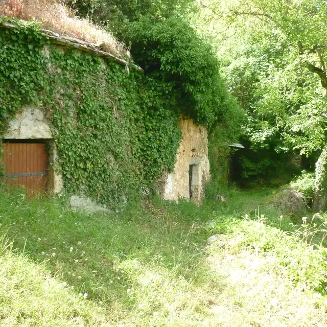
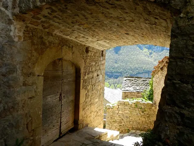
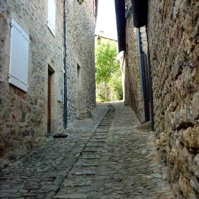
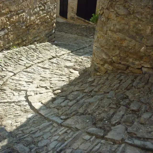
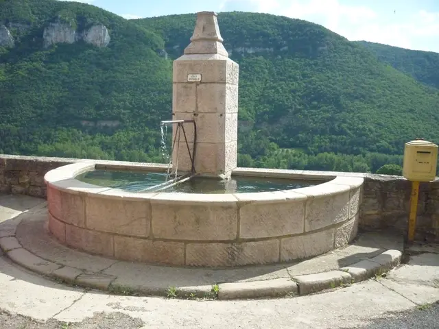
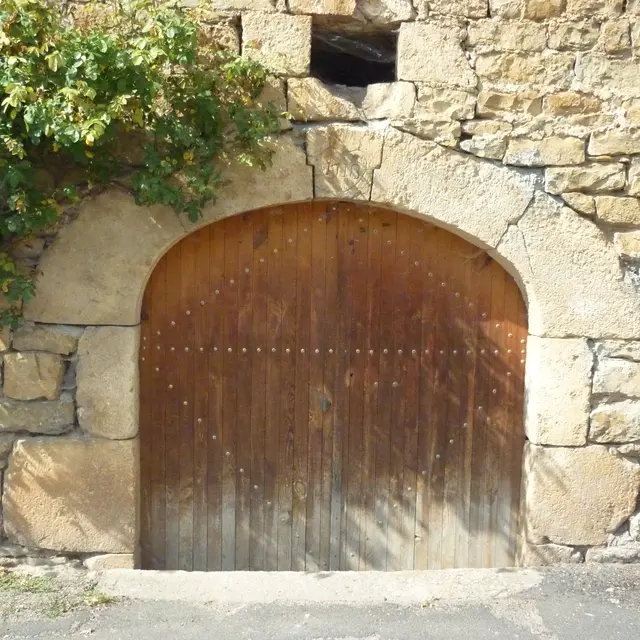
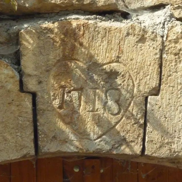
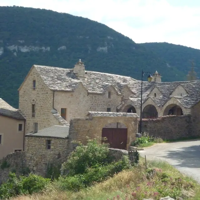
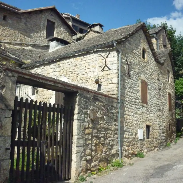
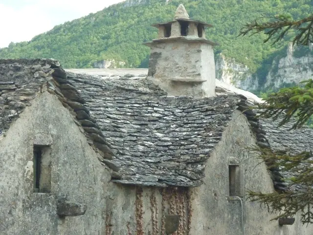
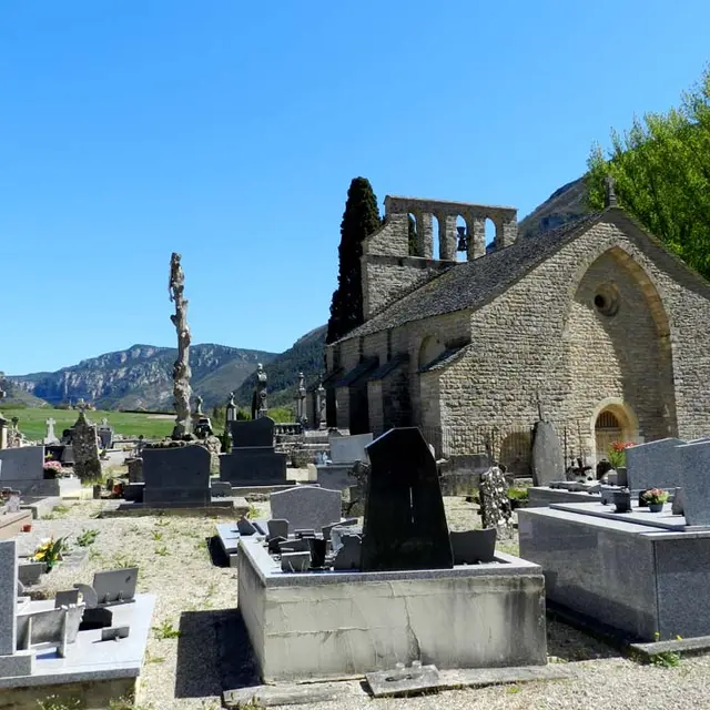
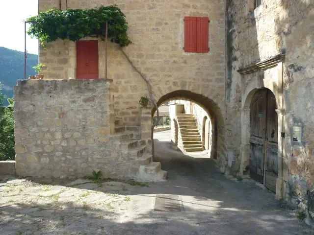
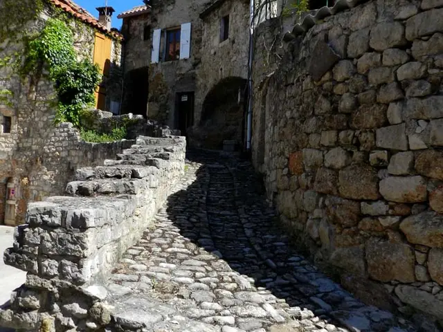
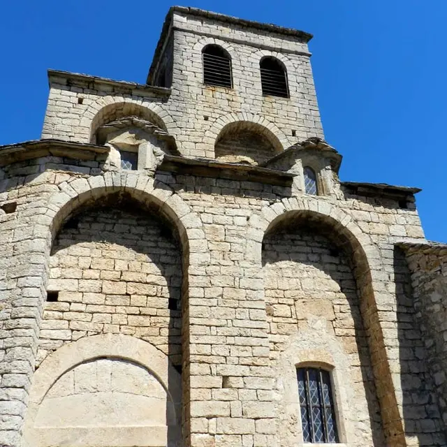
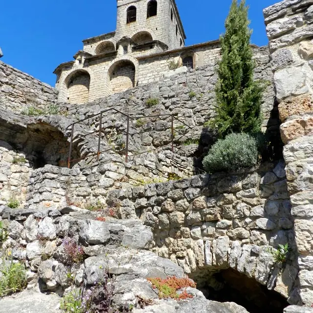
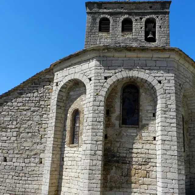
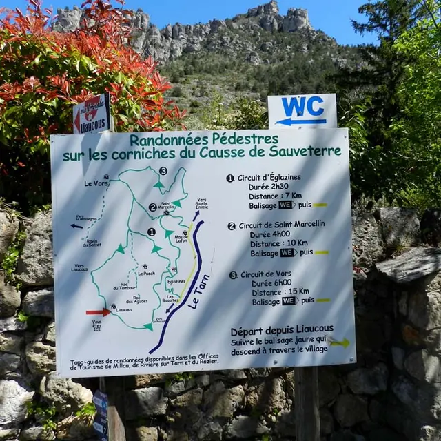
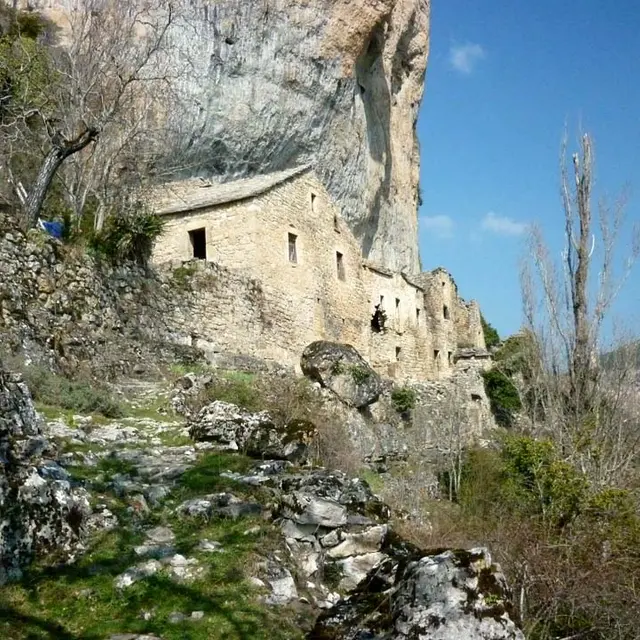
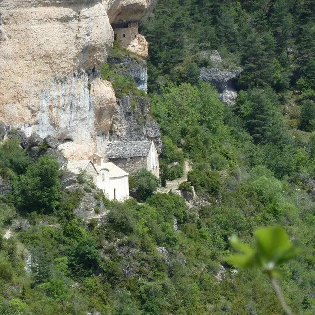
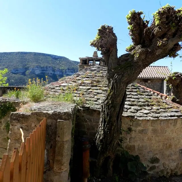
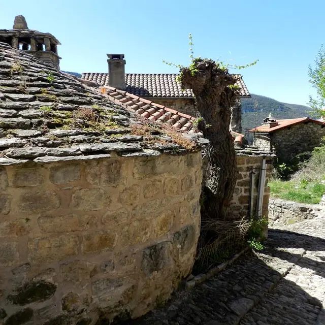
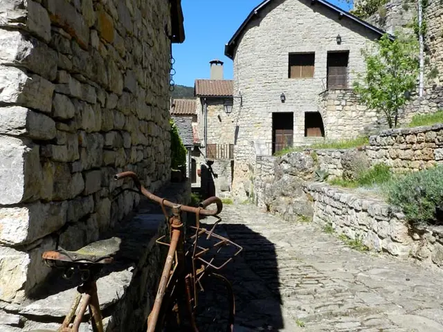
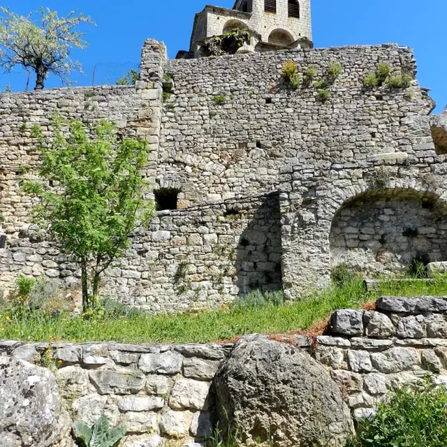
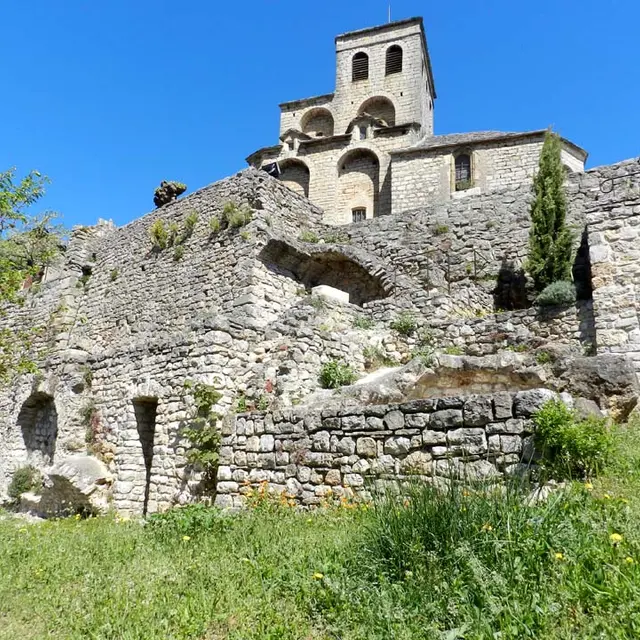
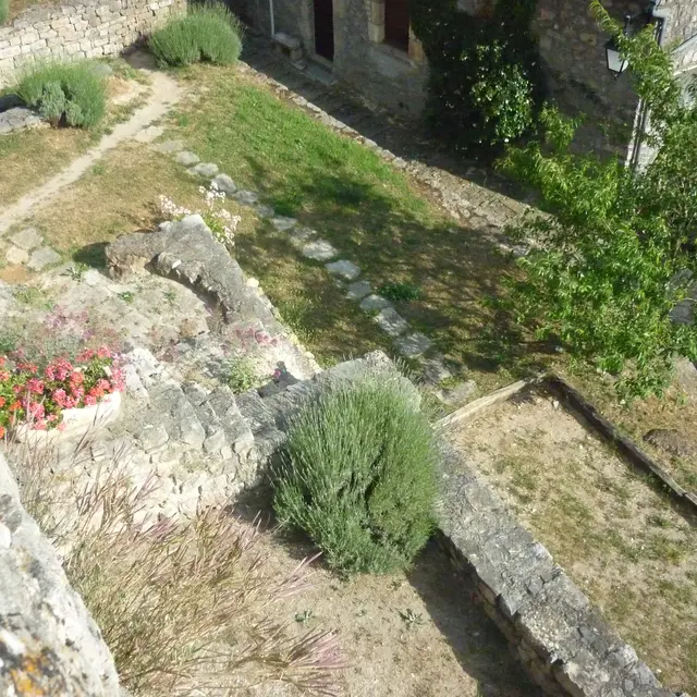
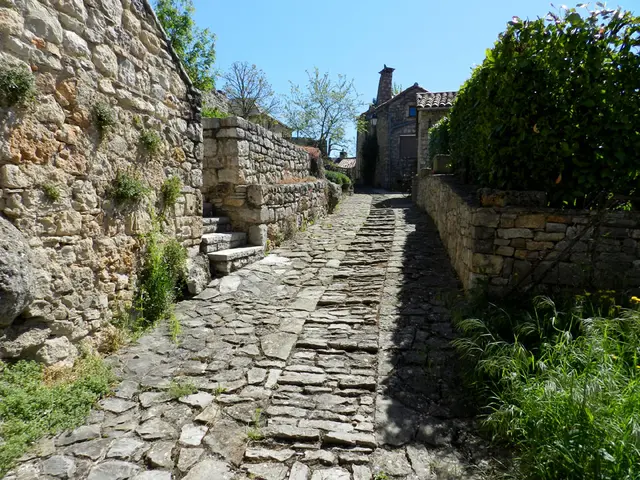
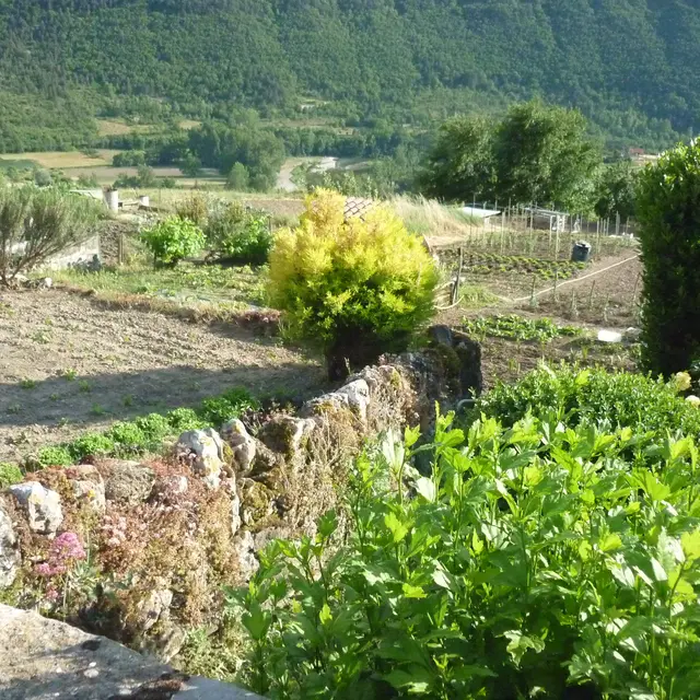
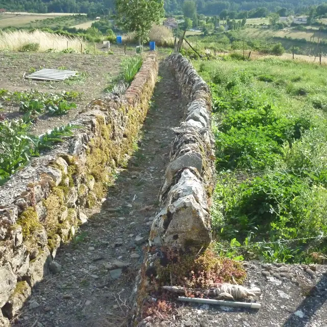
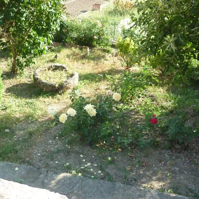
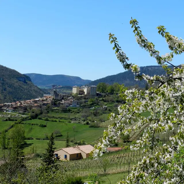
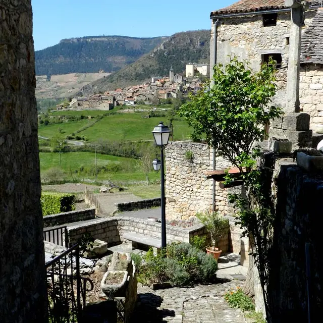
L'architecture caussenarde sur la commune de Mostuéjouls
L'architecture caussenarde sur la commune de Mostuéjouls
Te voet
12720 Mostuéjouls
Routebeschrijving
×
Open de route in
Google Maps
Apple Plans
Waze
Mappy
Delen
Ajouter aux favoris
Aan mijn favorieten toevoegen
×
Deel dit blad
L'architecture caussenarde sur la commune de Mostuéjouls
E-mail
WhatsApp
Facebook
X
LinkedIn
Pinterest
Bezienswaardigheid
Bezienswaardigheid
1
2
3
4
5
6
7
8
9
10
11
12
13
14
15
16
17
18
19
20
21
22
23
24
25
26
27
28
29
Sluiten
Populaire zoekopdrachten
{% label %}
Pagina suggesties
Rondleiding
©
Rondleiding
Rondleidingen & excursies
Randonnee Du Mejean Vazen Clara Ferrand Wildroad Crtloccitanie 0039135 Md Min
©
Randonnee Du Mejean Vazen Clara Ferrand Wildroad Crtloccitanie 0039135 Md Min
Wandeltochten
Rando Aerienne Villages Troglodytiques Aventure 32 Gorges Du Tarn Laetitia Raisin Robert
©
Rando Aerienne Villages Troglodytiques Aventure 32 Gorges Du Tarn Laetitia Raisin Robert
|
Laetitia Raisin Robert
Onze mooie stenen dorpjes
Filter zoeken
Soorten pagina’s
Alle
Artikelen
Agenda
Lijsten
Activités youBOOK
Aucun résultat
/
Nederlands
Français
English
Español
Sluiten
×